Professional navigationmade simple
Download Seapilot now
![]()
![]()
Why Seapilot?
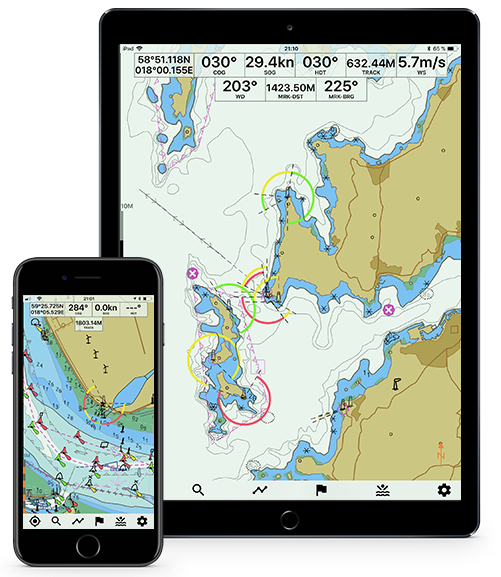
Seapilot Features
With Seapilot Basic you have some basic functions to navigate and with Seapilot Premium you get all the extra features. Whichever you choose, you always need to buy your *charts separately directly in the Seapilot App.
*US, charts are free.
Download Seapilot Now
![]()
![]()
The size of your boat is not important. You are the captain and understand your responsibilities. How an where to steer your vessel – you’re in control, those are your decisions. You love life at sea and likely have friends who share this same passion.
Download the Seapilot navigation app for your device. See you at sea!